Hydrology – Saskatchewan
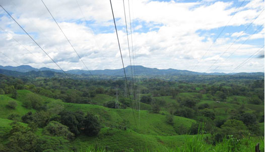
LSI performed a survey of multiple sites across central and southern Saskatchewan totaling over 2200 sq km for hydrologic studies. LiDAR digital elevation models, contours and high-resolution orthorectified imagery were required by the client for the management of federally-owned dams and irrigation projects in the region. Hydraulic modeling of floodplains and water courses was performed using the collected data in order to assess environmental risks and emergency preparedness at each site.
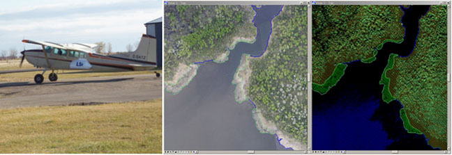
Visualizing LiDAR data for wide area topographic mapping:
http://www.youtube.com/watch?v=hYqXtrKvZHw
Oil & Gas – Northeast Alberta
Since 2008, LSI has surveyed thousands of sq km for oil sands related projects in the Fort McMurray region of Alberta for numerous clients. The topographic and vegetation information obtained from the LiDAR surveys has been used for various purposes, including tailings site reclamation projects, seismic survey design and land management.
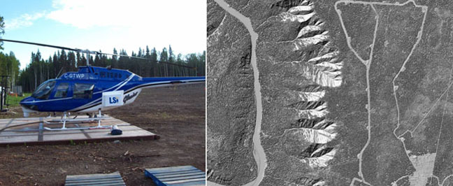
Airborne LiDAR Visualization:
http://www.youtube.com/watch?v=k6nfskNev-Q
Highway Corridor – Northwest Territories
LSI surveyed a 500 km by 1 km winter road corridor from Wrigley to Norman Wells, Northwest Territories with its Cessna 185 mounted MATRIX LiDAR system. Deliverables included LiDAR DTM points with 0.8 metre spacing, bare-earth and full-feature greyscale hillshade models and 1-metre contours with full water-body vectorization. The delivered data were used by the client for engineering design of an all-season highway linking these remote northern communities.

LiDAR Bare Earth Demonstration:
http://www.youtube.com/watch?v=-o20JPHVgxA
Additional Project Locations
• Alberta • British Columbia • Manitoba • Newfoundland • Northwest Territories • Nova Scotia • Nunavut • Ontario • Quebec • Saskatchewan • Arizona • Maine • Minnesota • Montana • New Jersey • North Dakota • Vermont


